Study on analysis and proposed solutions on the problemens hydraulics of Plana d'Encamp. Study of the causes and proposed solutions
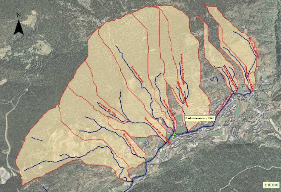
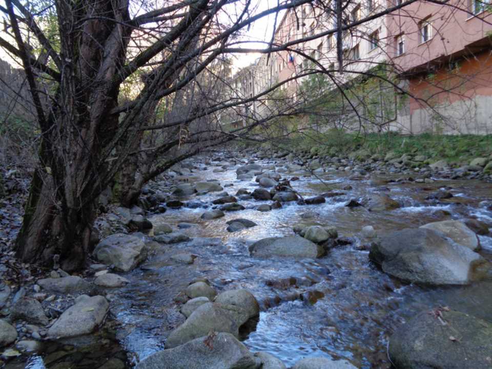
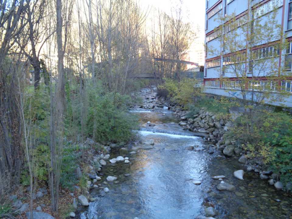
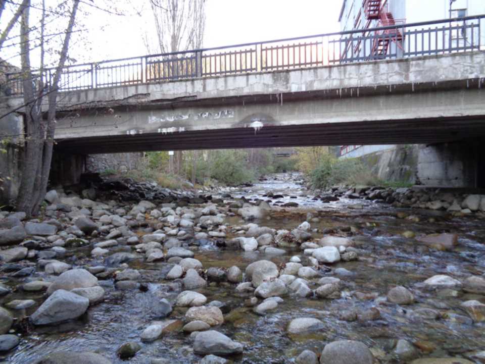
 The area under study is located in the Parròquia d'Encamp, specifically the stretch of the river adjacent to the Plana d'Encamp, between the Good bridge and Prada de Moles. Coordinates Lambert III of the study area (starting point / end point) are: x = 538,442.086; y = 26,786.058; // x = 537,042.026; Y = 25,885.009.
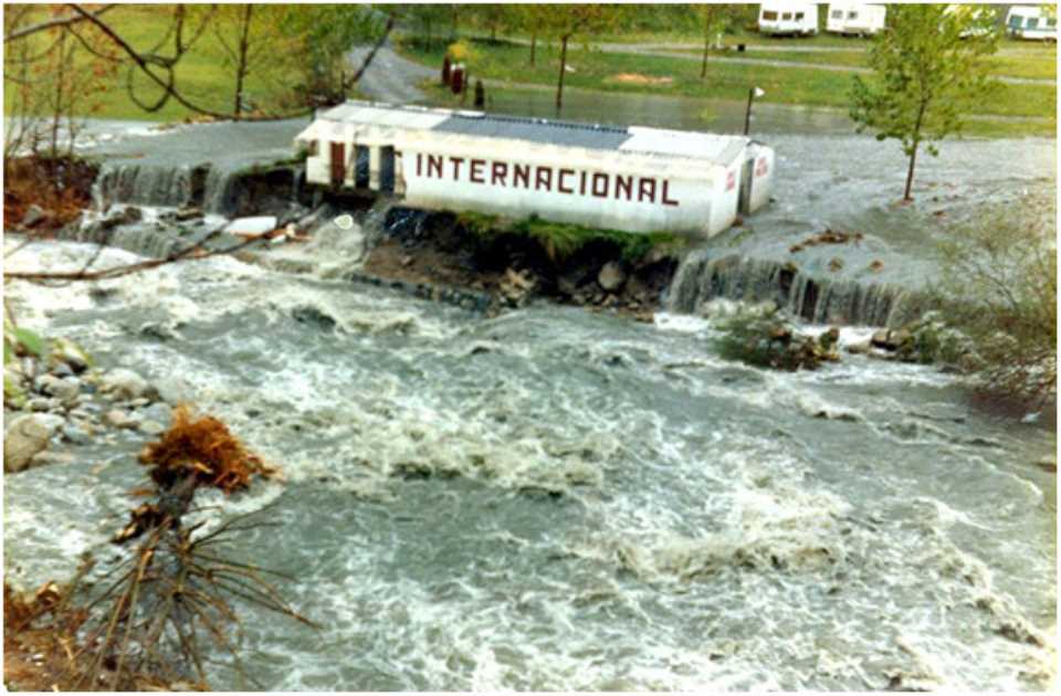
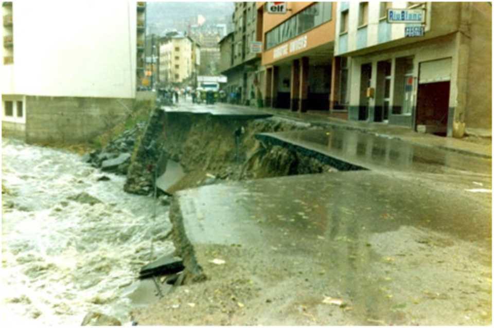
The purpose of the study is to identify and quantify the causes that lead to the problems existing of the Plana d'Encamp, from the analysis of rivers and streams to collectors, irrigation and pipes in the area, so that's end offering concrete proposals for improvement, valued economically.
As a complementary study introduces an analysis of the phenomena of currents in the river environment caused detritus Aixec river, to evaluate and study its possible effect on the Valira d'Orient river.
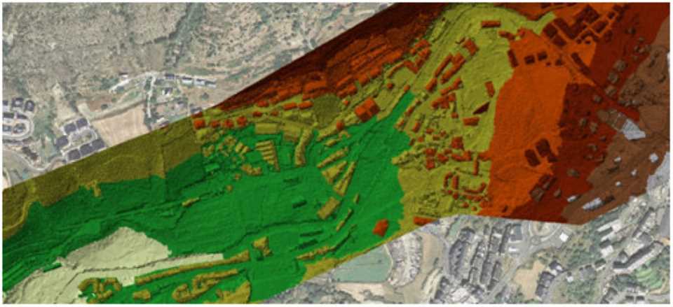
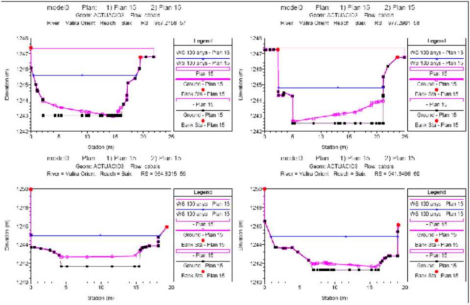
The methodology involves the completion of an hydraulic model 1d Hec-GeoRAS only by the topography of the river without detailed lidar surveying the whole Plana d'Encamp. With this model we know what avenues associated with their respective overflow return period. This model simulate and study the alternatives and proposals for improvement on the current topography and made the necessary changes (introduction walls, channel extensions, changes in slope channel, etc) from 1d Hec-Ras editor program.
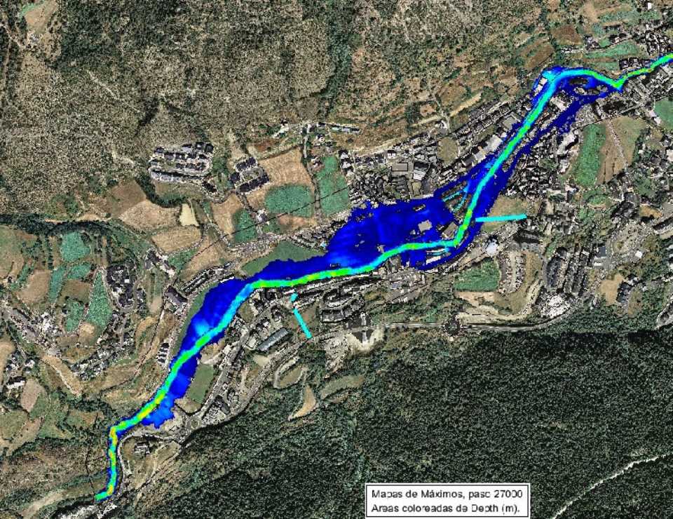
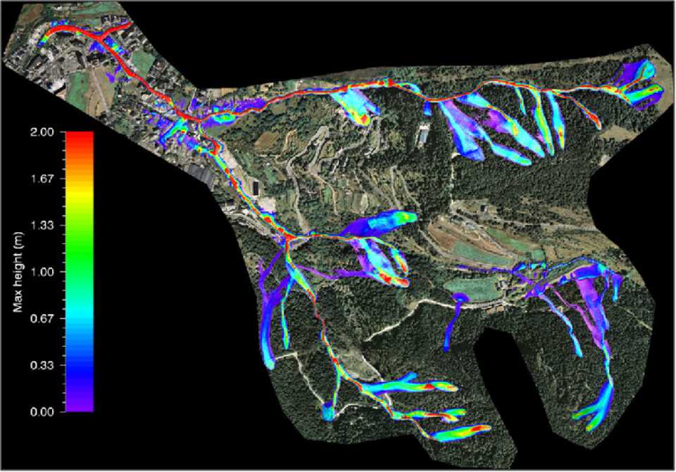
As a supplementary point is an analysis by 2D numerical model (Iber) only by the topography of the current situation and the volumes associated with 100 years, ie, by the avenues that actually cause overflows in these initial topographical conditions. At this point the respective maps obtained results and drafts of water in flood areas, speeds, affected surface, dwell time and, as a final, hazard maps based on the combination of depth and velocity vectors (according to the regulatory criteria of the ACA).
