Natural hazards SERVICES
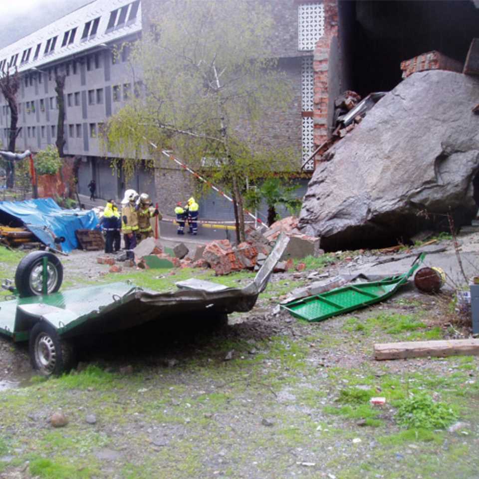
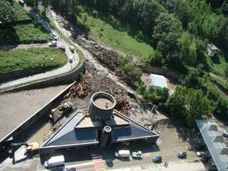
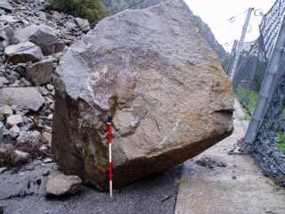
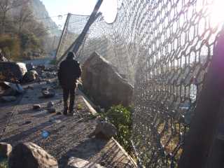
In the case of the land affected in a significant way by the fall of rocky blocks, currents of débris,large-scale movements, superficial landslides, it is necessary to conduct a specific study in hazards.
The studies are undertaken according to the internal IET of Euroconsult SAU 21-03 (rezonification of the land according to the natural hazardness), 22-01 (landslides and landslides) and 22-03 (large-scale landslides) which are adapted to the Andorran Government regulations.
The analysis of natural geological hazards to which a piece of ground is exposed is established, in accordance with the rule 1.2.5 of the Article 7, of “Regulation for the implementation of works or activities which change the current state of the ground” ), dated 25.07.2001 and published in BOPA the 1st of August, 2001 (No 71, pages 1922
In the case of land affected in a significant way by the fall of rocky blocks, currents of débris, large-scale movements, superficial landslides, it is necessary to conduct a specific study according to the Annex 6 of the above Regulations. (pages 1929-1930).
The representation of data field and all the desk-based information is under the form of map-making and GIS (Geographic Information System)..
- Thematic cartography consists of the reproduction on a topographical basis of a specific aspect of the soil, as it can be the geology, the geomorphology, geo-technical properties, the usage of the soil, the situation of aquifers and of freatic level, the vegetation,… The methodology used follows the internal IET of Euroconsult SA 21-02
- The aim of a GIS is to store in a system of geographic information a set of special data where will be modifies and dealt with the objective to be represented and easily available for any user. The representation of these data and its availability will be possible from an informatic application and it ca be used bay any user without the necessity of having any knowledge about management programming od special data.
- The methodology used follows the internal IET of Euroconsult SA 21-02.
