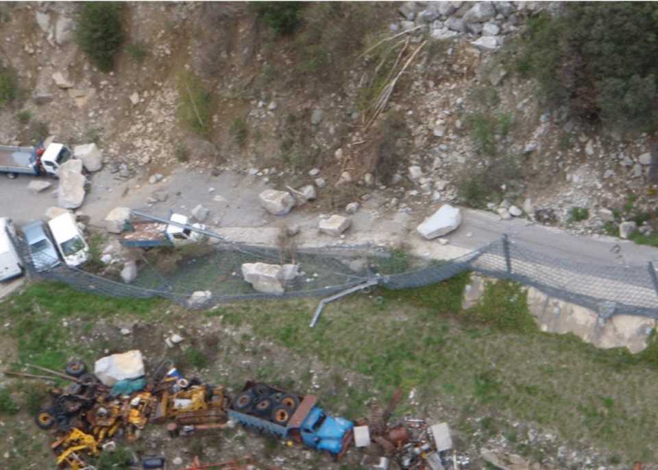
Block rock falls of the Solana d'Andorra la Vella
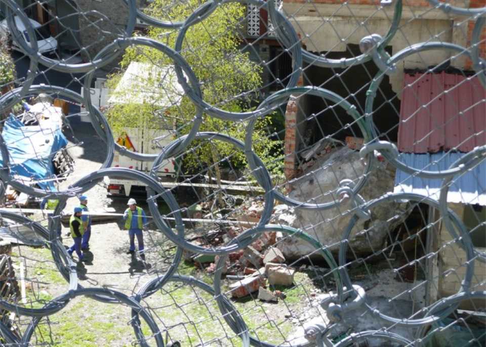
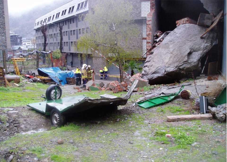
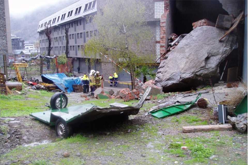 1. Following a fall of rock blocks, the Comú d'Andorra la Vella commissioned a Master Plan before falling boulders in companies Euroconsult and Eurogeotècnica. This plan is aimed at government with powers relating to the topic of falling boulders that may occur in the geographical area between the Roc de Persoma and the Partida de la Grella (limits to the Parròquies of Sant Julià de Lòria and Escaldes-Engordany respectively). The overall goal has been to provide a tool for management and planning at regional and, in more detail and to determine the hillside areas exposed to a higher risk, establish a risk mitigation proposal and regulate and orderly and rational execution of future construction and protection of buildings exposed.
The working methodology consists of the following parts:
- a. Data collection on the block falls historical and testimonial.
- b. Study of indicators falling blocks (geomorphological and structural).
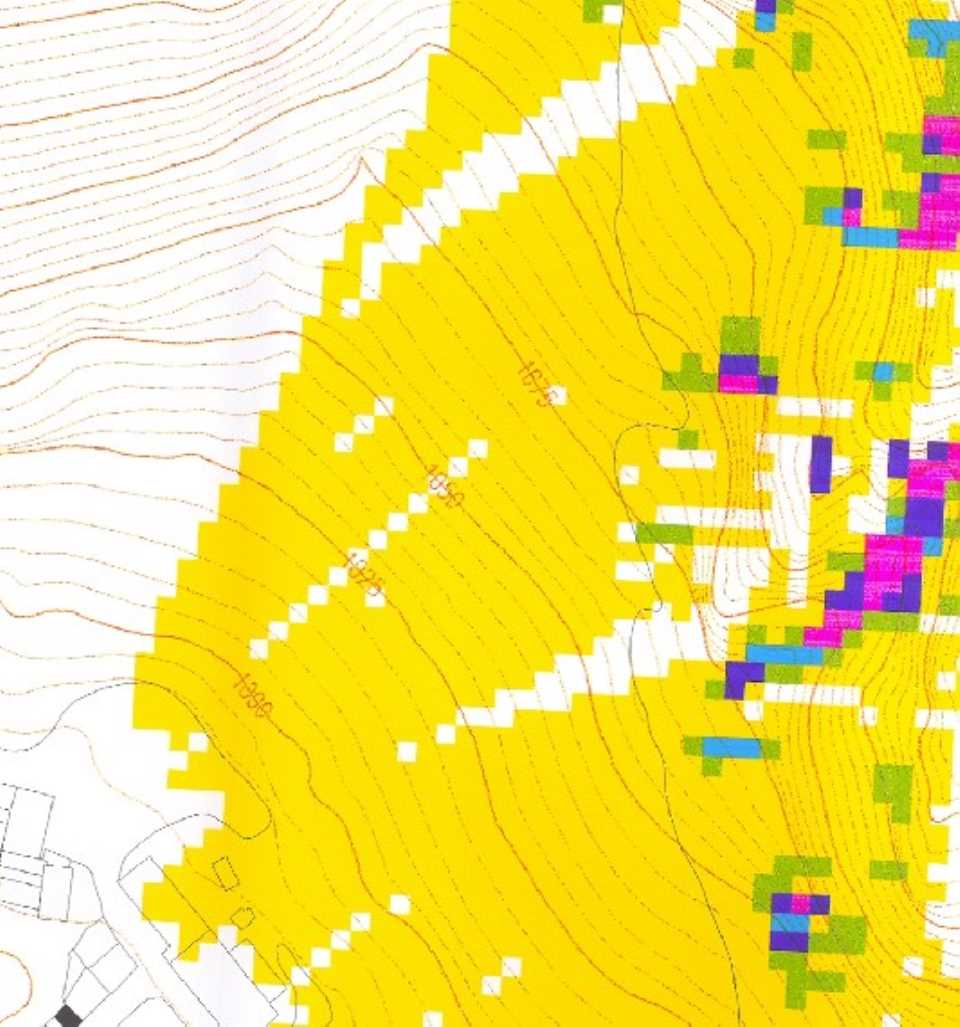
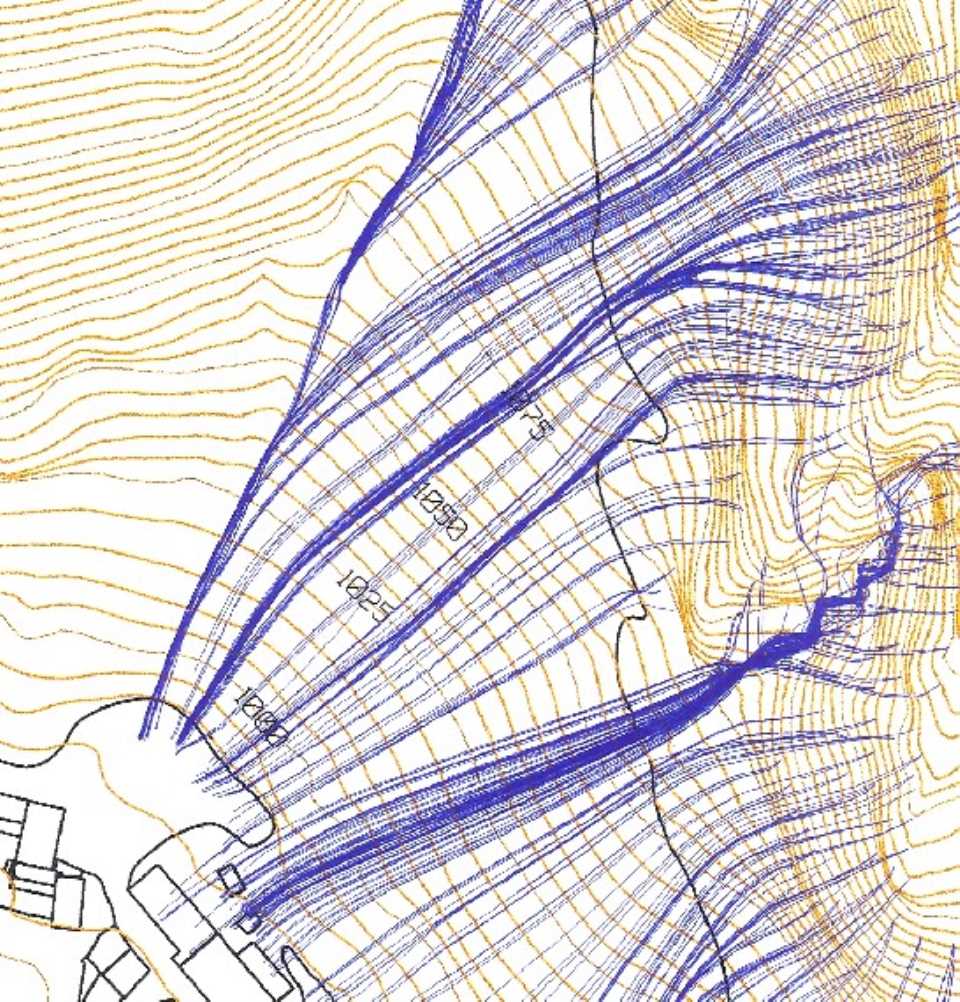
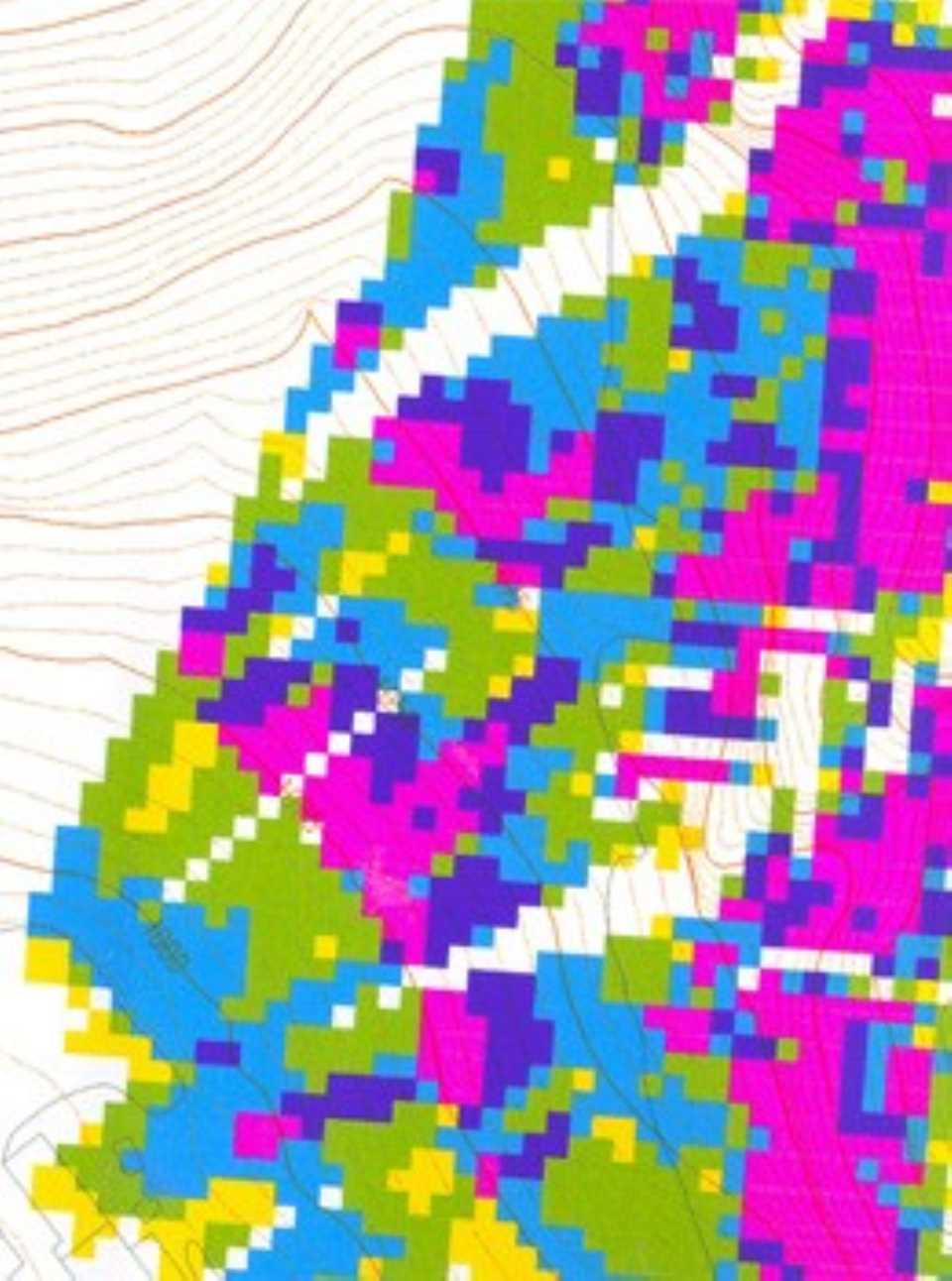
- c. Simulation using analytical-numerical calculations of the process of falling boulders, calculating trajectory, energy, rebound and maximum distance of fallen blocks.
- d. Establishment of a limit buildable-not buildable slope throughout the Solana and a reserve of strips of land for prospective protections.
- e. Use and land management with the establishment of a regulatory proposal for buildings and plots to build.
2. Studies detail. Commissioned by M.O.T. of Government. Protection against falling rock blocks in Andorra la Vella Solana. Study shed:
- Zone Bon Repós - Col.legi Janer - Landfill Comunal (October 1998).
- Zone Old Centre Hospitalari - C / Gil Torres (December 1998).
- Zone C / Mestre Xavier Plana - C / Fountain Puial (March 1999).
- Zone Roc de Persoma (April 1999).
- Zone Tartera de la Pica (May 2000).
- Zone cemetery - Roc de la Basera Mateu (October 2000).
- Zone Solà de Nadal (February 2001).
- Area of ??Roc de Sant Vicenç - Santa Coloma (June 2001).
- Studies hillside by falling boulders in Andorra la Vella Solana. Study of the slope: Sant Ermengol zone - Pont Pla (March 2006).
- Study on the feasibility of intermediate barriers location and possible action on the slopes of Andorra la Vella Solana. Area between the Roc de Sant Vincenç and the Roc dels Corbs (July 1999).
3. Project protections
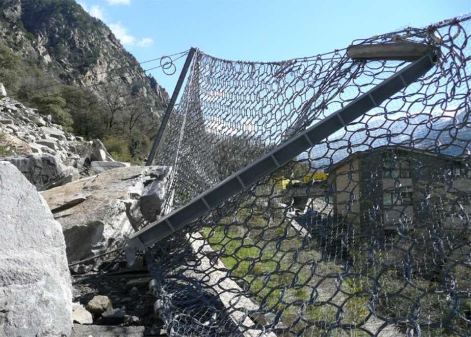
There have been projects protections of the 4 priority areas set out in the Master Plan:
- C/ dels Barrers
- Roc de Persoma
- C/ Gil Torres Street
- Roc dels Corbs zone
4. Inspection and surveillance
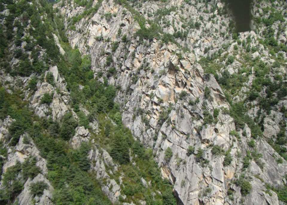
It also regularly monitors by helicopter inspection of the most troubled areas to record their progress and a review of the installed protection systems. It is part of the Surveillance Plan Shed Andorra Solana that takes place since 1997 and has an annual. The main objectives are:
- a. Track inventory rocky slope points more likely to generate landslides.
- b. Inspection of the exit points falls boulders has been documenting the monitoring plan.
- c. Identification of potential new block falls.
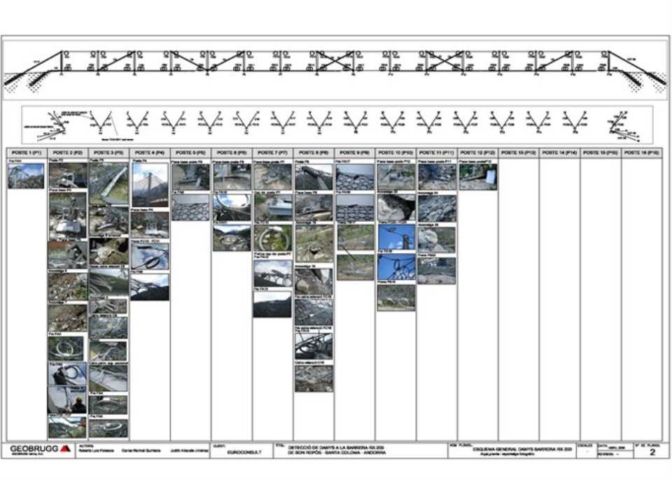
- d. Review of the status of intermediate barriers.
- e. Review of the status of the cleats of bedrock.
- f. Proposal on further steps.
5. Also performed an inventory of landslides that are known, so that for each release characteristics are determined for comparison with theoretical models of the previous studies.
6. So these communications were made at conferences and exhibitions.
