Great Move - Bixessarri Canolich
 Seeks rezoning from the existing detailed hazard scale 1:2000 and determining a set of recommendations and actions required to manage in a rational manner to which the risk is under the affected area. Risk refers to the great movement of slope ranging from Canòlich in coronation until Bixessari village, walk to the shed.
The working methodology is as follows:
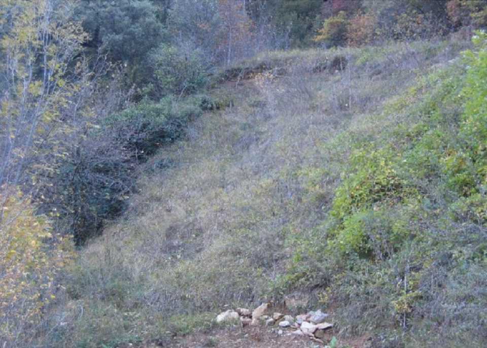
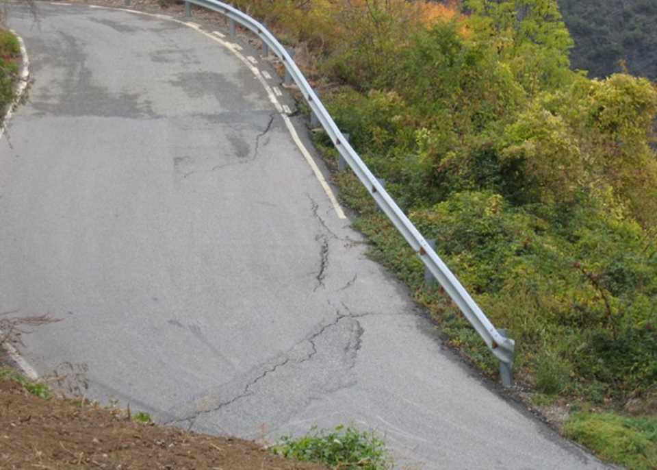
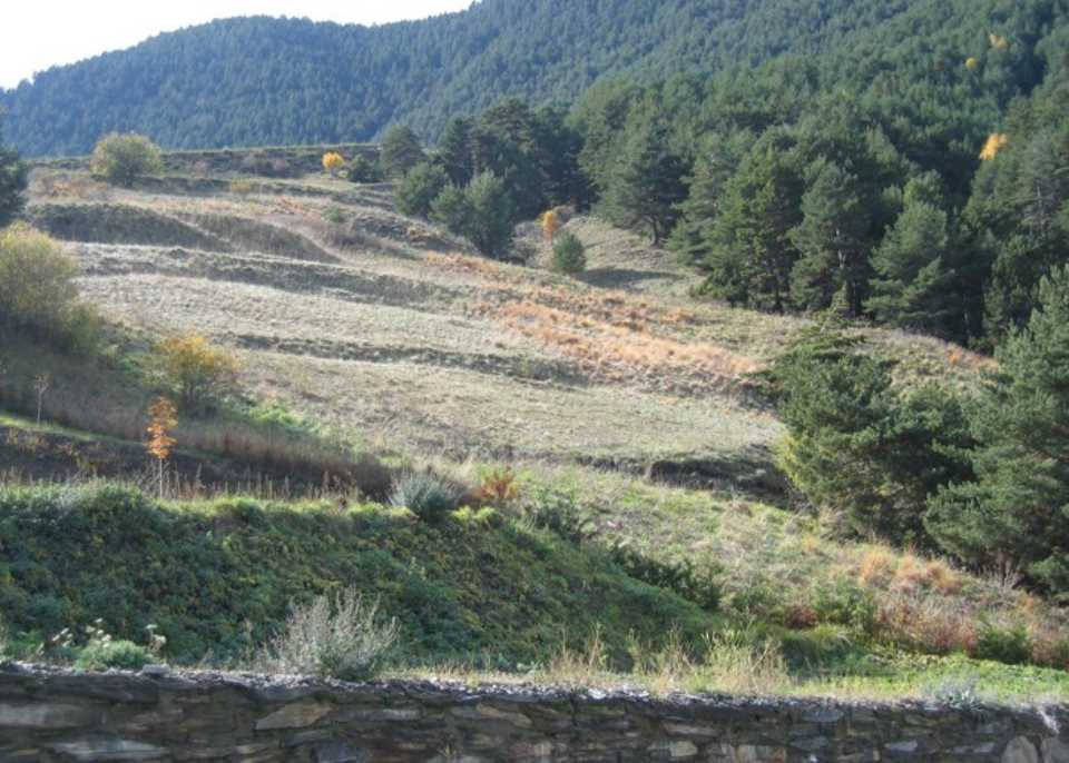
1. Geomorphological study based on preliminary photointerpretations and general geomorphological field observations (indicators of instability and activity).
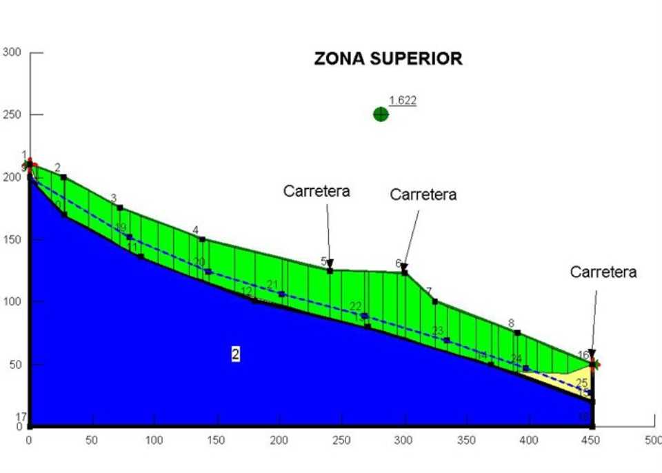
2. Numerical simulation: has established the simulation model, the input data to the simulation model (representative longitudinal motion profile).
Given that the magnitude of a large slope movement is always high (due to the large volume of material involved), its danger is determined by the activity, is directly related to qual indicators.
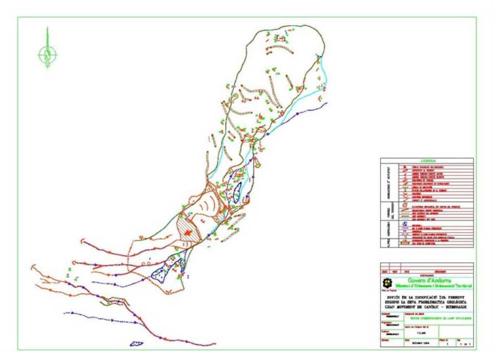
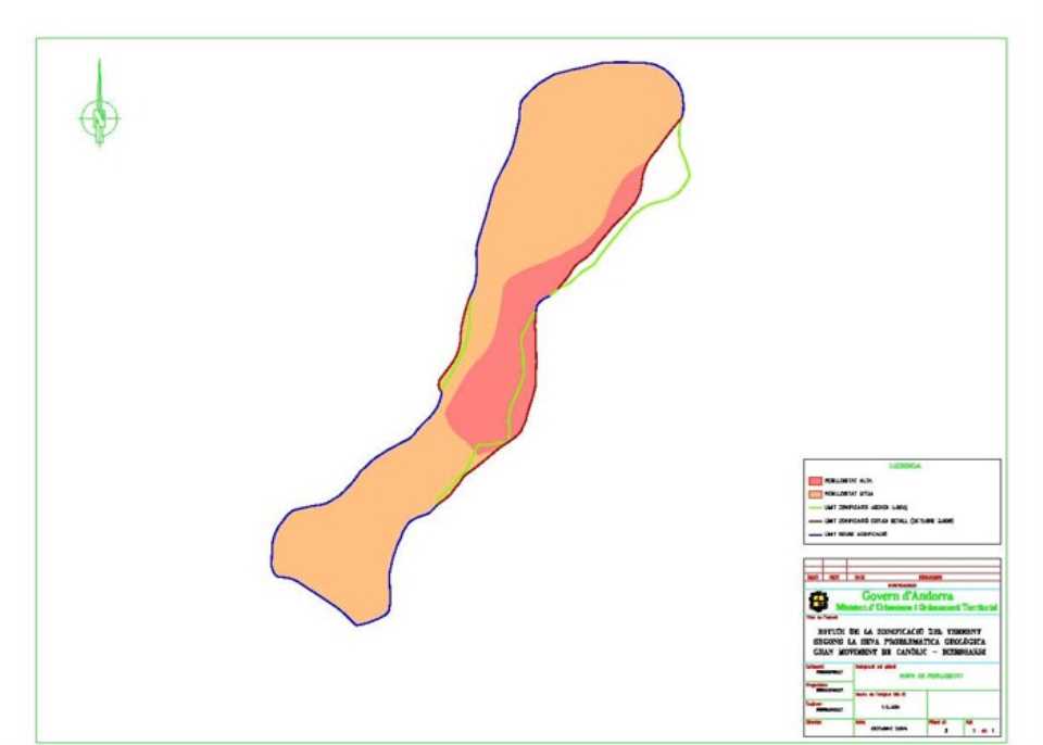
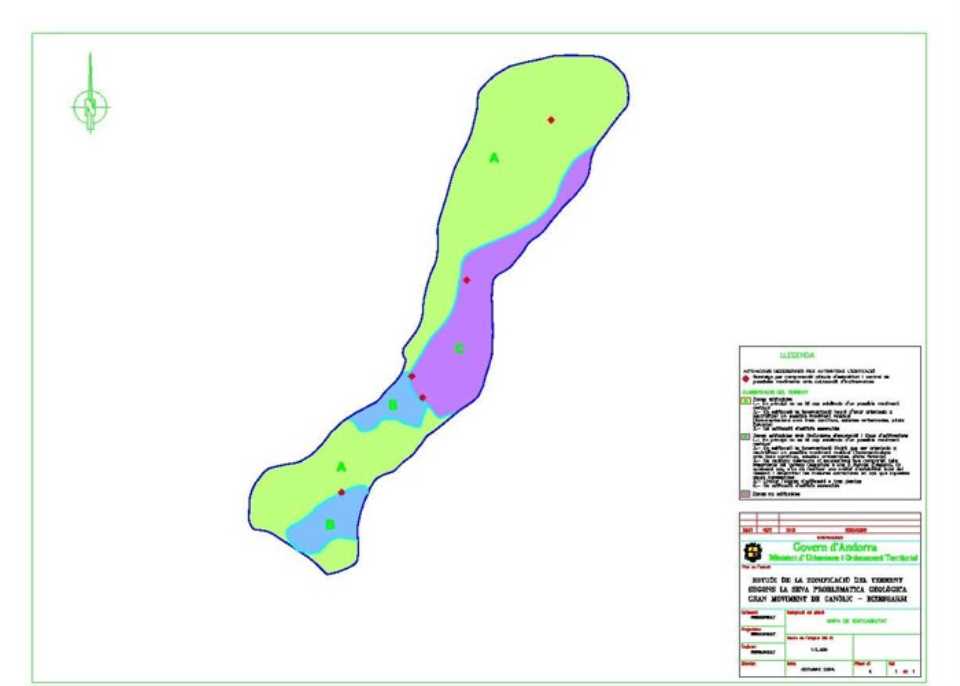
Below is a detailed set rezoning, difererenciando areas depending on the degree of danger:
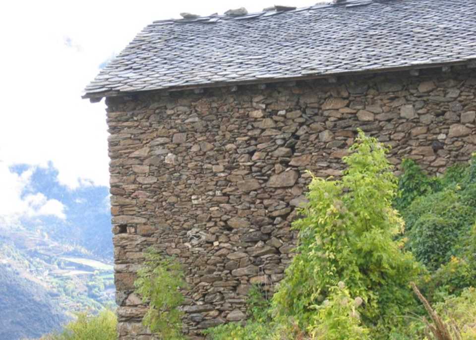
A. High hazard areas:
- Central area and part of this range along the ravine that delimits
- Area Terra de l'Obac (just above the Clot de la Pardina)
B. Medium hazard areas :
- Scar zone coronation and the upper part of the great movement
- Bottom or foot slip
In general, we may consider that all and that the whole movement is described as medium hazard, in this study the existence of a central localized "active" surface more probabilidada reactivation is observed.
Necessary action to authorize the construction and adaptation of buildings to land classification performances, both aspects to make i enforced by the Administration, having as objective to estimate an acceptable residual risk across the broader movement. We understand that the proceedings are to be conducted in their joint and on short notice for a risk level as low as possible while ia controlled.
In this context the zoning of the land into three zones differs, classified as follows:
AREAS A. Building zones
AREAS B. Buildable with limited excavation and building type
AREAS C. Unbuildable areas