Hydrological and hydraulic study for Partial Plan Performance Unit Cabeca
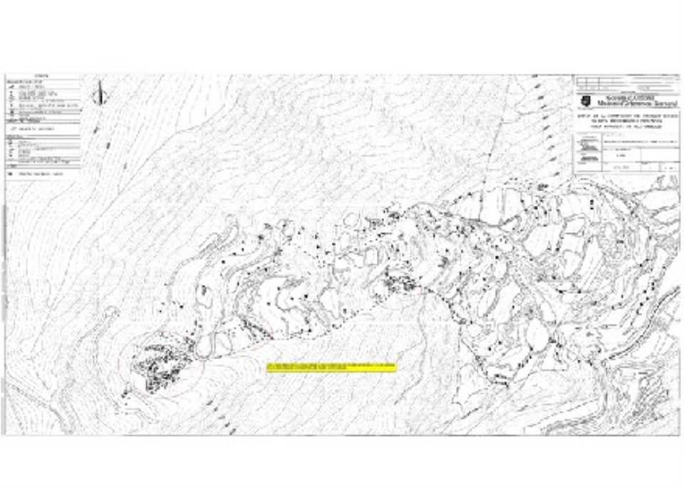
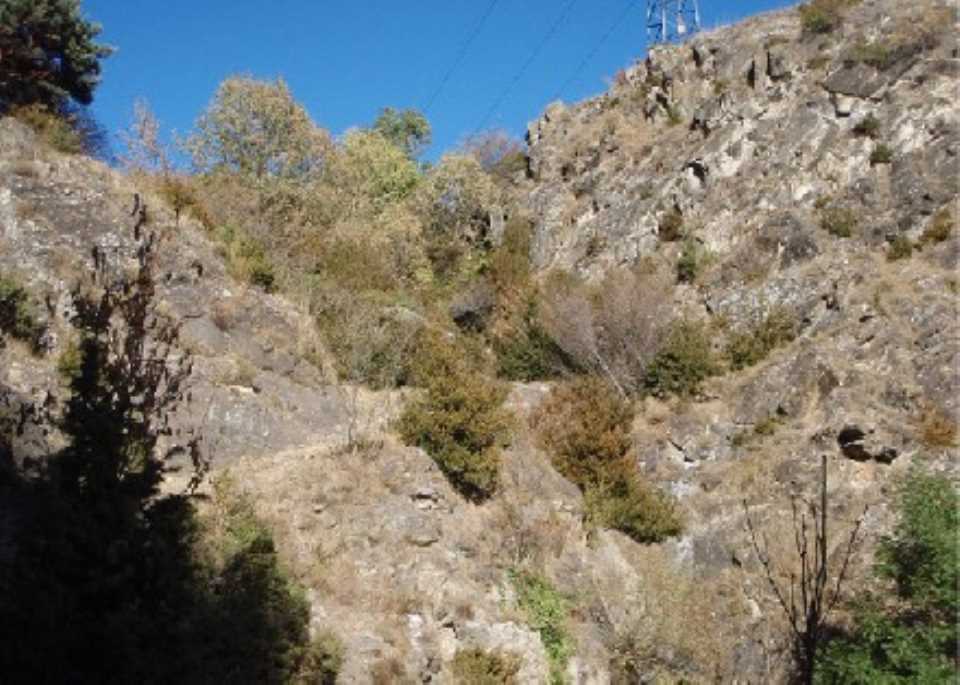
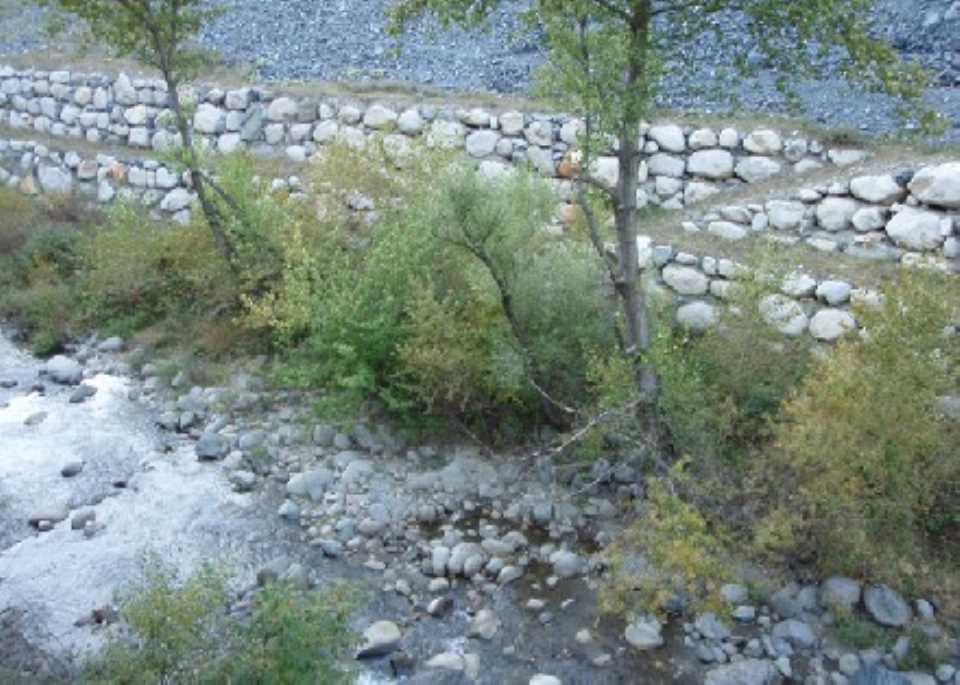
 The main objective of the study is to assess the hydraulic Valira d'Orient river flooding throughout the area of attachment to the Unit of Action Cabeca POUP Encamp (land located to the right of the Valira d'Orient river between Radio Andorra and the mouth east of Dos Valires tunnel) for further delineation of potential flood zones. Also a study of the transport capacity of solid volume and the possible erosion caused general throughout this section, to assess the potential risks of erosion of some structures presents stretch as side dry-stone walls.
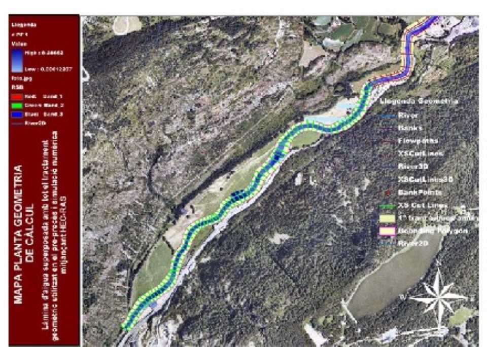
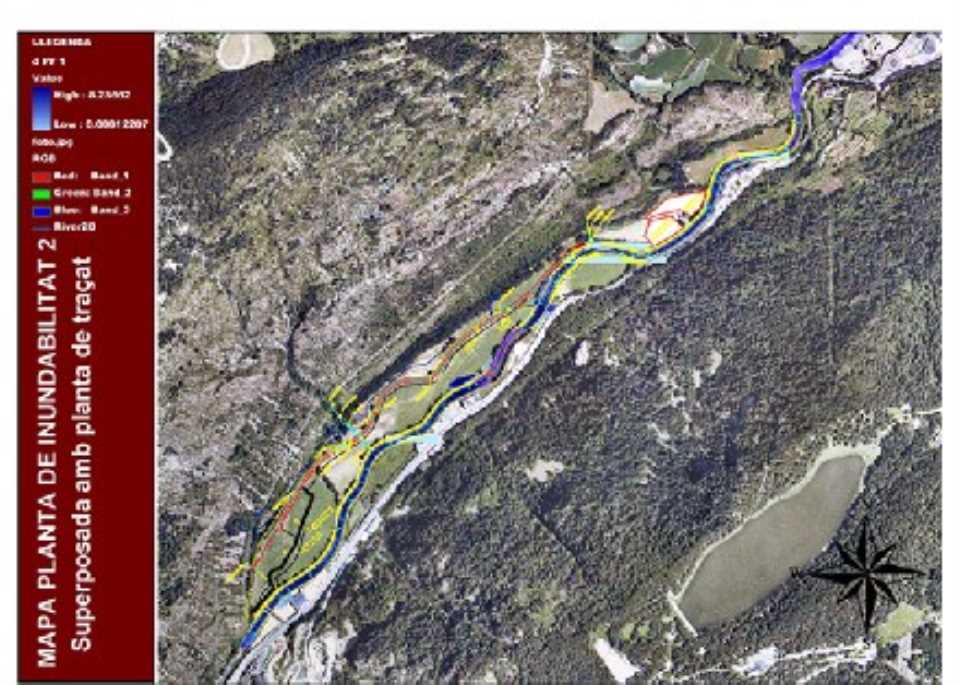
The study is done using a digital model of terrain detail, later perform checks to ensure adequate hydraulic capacity performance. In this study we apply the numerical model HEC-RAS through the ins and the ability to interact with ArcView application through HEC-GeoRAS.
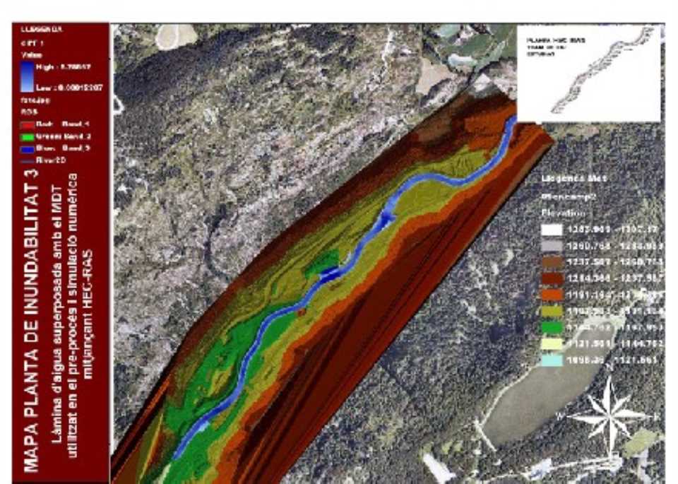
The main conclusion is that the numerical simulation of the entire route of the river presents an analysis below the water surface drainage capacity of each section, so the river does not go beyond at any point in the path.
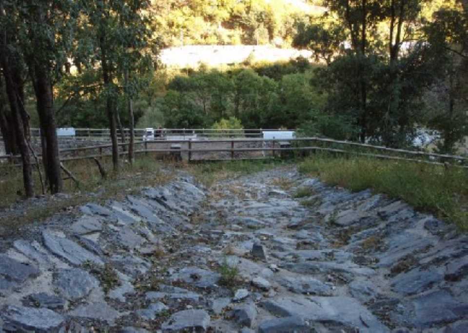
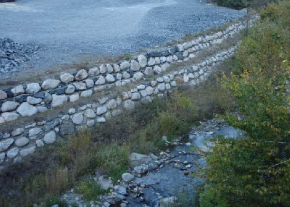
As a general erosion of the river for a maximum period of flooding is estimated a value of about 1 m in the central part of the channel. Therefore, there should be no danger of erosion existing foundations of the wall due to erosion (all sections of the wall types are currently implemented underrun minimum depth of 1 m above the level of the central bed 2 m of the river and in the margin on which they lean.)
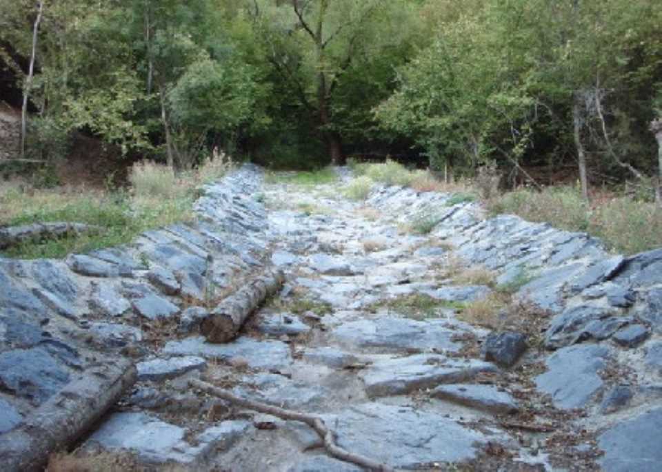
The study focuses on hydrological basins input streams and further 4 hydraulic test to see how far these can affect the Action Unit.
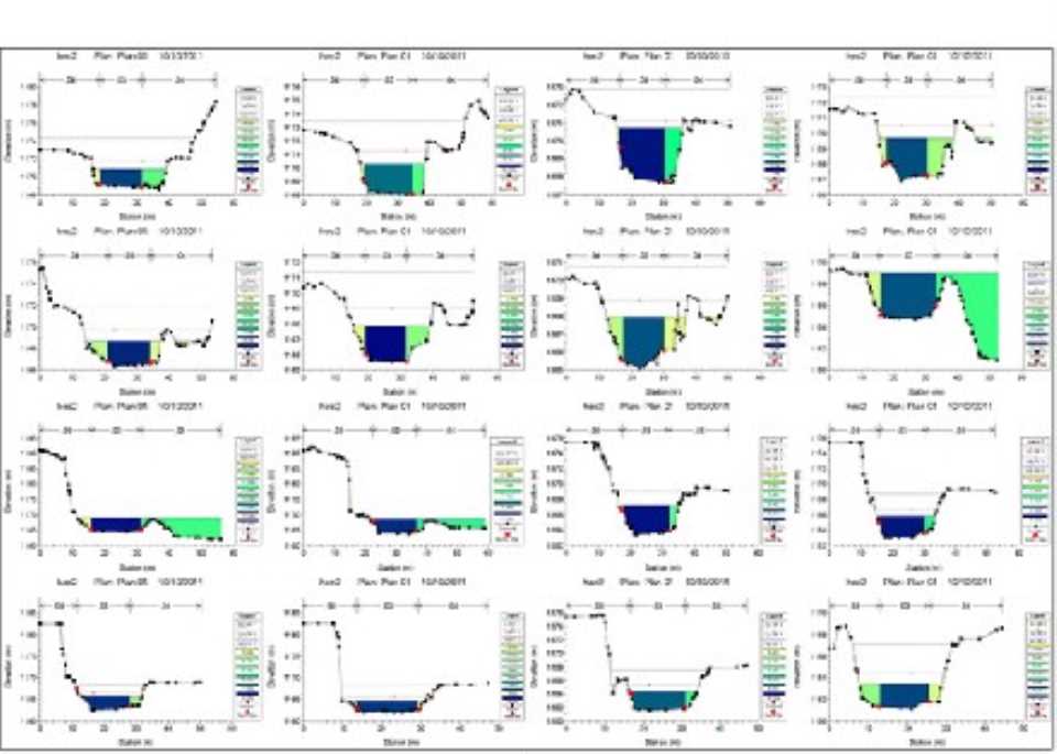
The main objective is to determine the various flood flows in streams studied and later make these checks and hydraulic capabilities to ensure proper operation in order to ensure the future development of the partial plan.
All sections minimum drain studied in this document have sufficient hydraulic capacity to evacuate flood flow forecast for a return period of 100 years. Thus, the pipes laid in later phases of study for Torrent de la Vinya and Torrent de les Aubes in his final section, must make at least one section or more than that obtained in this document. As for Torrent de Plamanera and the Torrent de l'Espeluga is no longer a minimum width of 4,665 m.
Regarding the contribution of solid load of each of the streams studied, will leave a security guard at least 0.5 m in height, design sections planned.
We recommend placing a dynamic barrier to retain sediment in the second narrow of the Torrent de la Plamanera, such Geobrugg VX-100 or similar, up to 6 m high, to protect against common phenomena of debris flows.